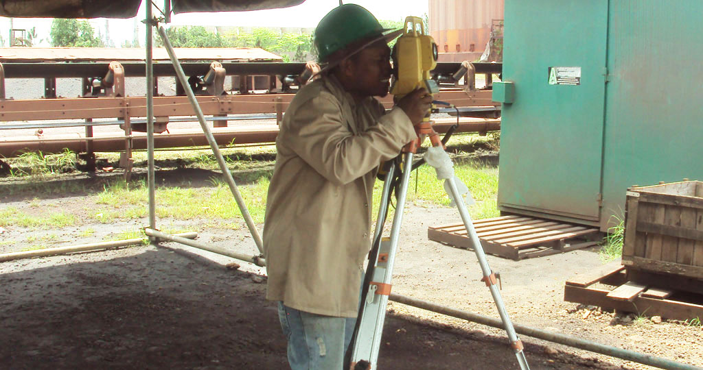
Voltec Engineering & Surveying Services Limited staff provides surveying services for projects ranging from topographic surveys to building surveys to large format plotting.
By utilizing state-of-the-art GPS (Global Positioning System) units and Total Stations to collect field data. We then use Autocad to analyze the data and create the required plats and maps while maintaining the best and highest standard of quality for each project.
The services we offer include:
- Consultancy
- Cadastral surveys
- Topographic surveys
- GPS surveys including static and RTK observations
- Setting out including road and pipeline route alignments
- General land development setting out
- Volumetric Calculation – stockpile to major earthwork calculations
- Management of major earthwork activity for accurate volumes
- Building surveys
- Detail surveys with feature coding
- Survey management and coordination
- Control surveys and adjustments
- Minor route design
- CAD services using AutoCAD, Land Desktop and Sitecomp
- Cadastral boundary surveys
- Large format plotting
- Copying of large format plans
- Underground line location


